ONE HAND

PROJECT 02


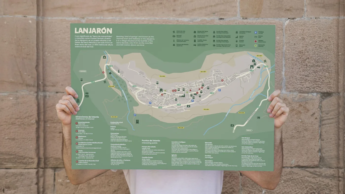
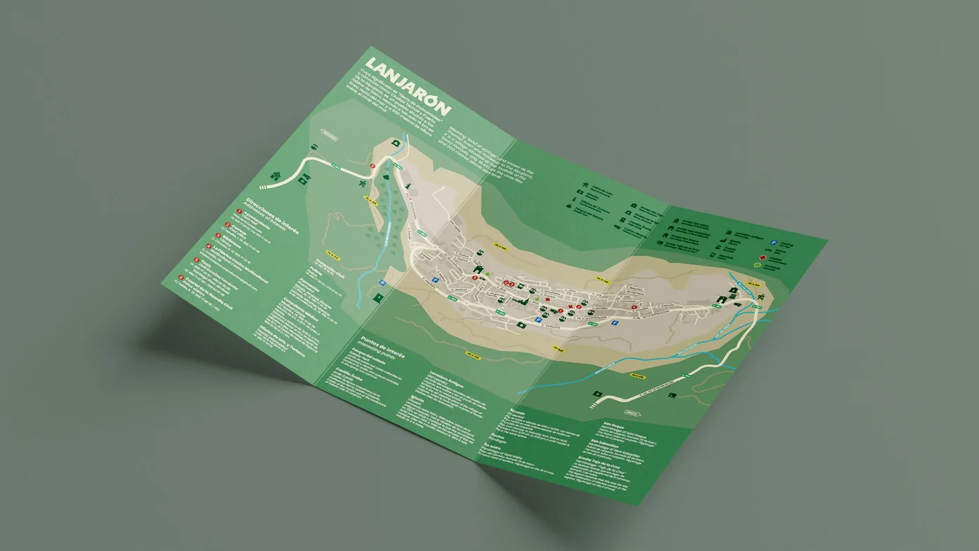
This tourist map was designed to capture the essence of Lanjarón, the renowned “village of water”. Known as the gateway to and first municipality of the iconic Alpujarra region of Granada, and as the spring that gives its name to one of Spain’s best-known bottled water brands, the village boasts a unique natural and cultural heritage.

The project goes beyond simple wayfinding to become a visual piece that invites visitors to tour its fountains, discover its history and connect with its surroundings.

  1. Discipline

    Layout and wayfinding

  2. Period

    2024

Lanjarón tourist map unfolded on a green background

DEVELOPMENT

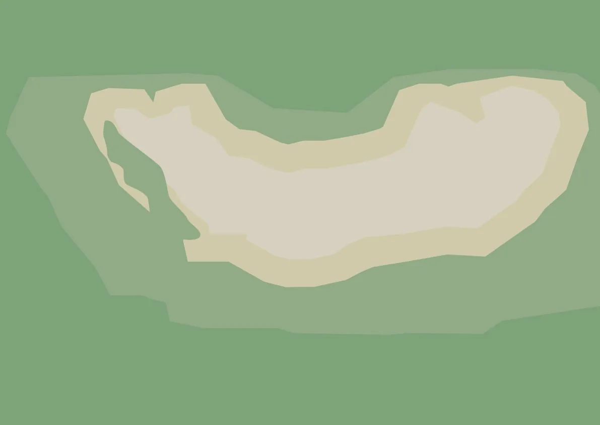
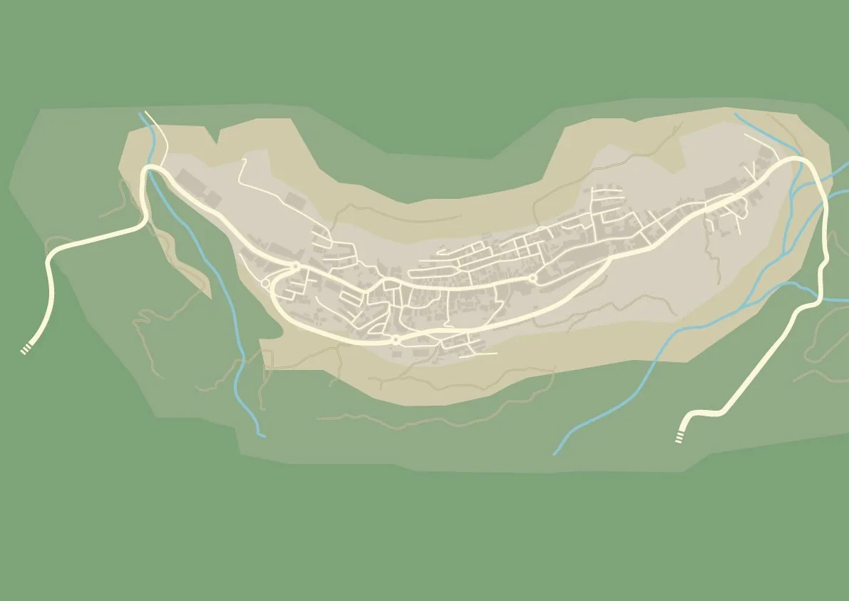
Development was purely technical and meticulous, and was carried out entirely in vector format. From tracing the topography of the street network to including the smallest urban detail, the whole document was structured through rigorous layer-based organisation, which made control and speed far easier.

CHALLENGES

The main obstacle was the iconography. There was a clear lack of existing pictogram sets that covered all of the town’s specific points of interest while also keeping a unified aesthetic in harmony with the map’s visual style.

SOLUTIONS

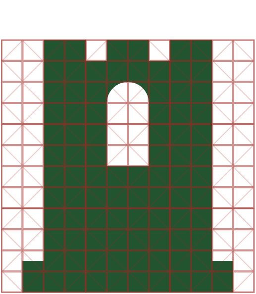
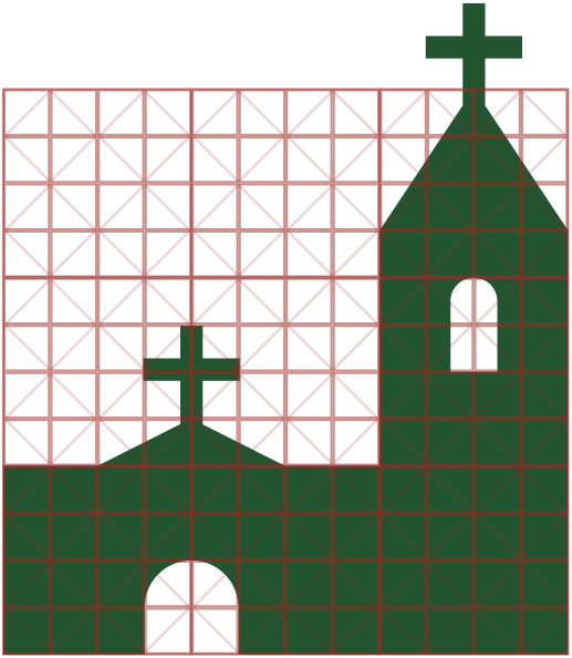
The solution was to design a bespoke, exclusive wayfinding system from scratch. Visual prominence was given to Lanjarón’s monuments and defining landmarks, to the point of designing a unique, made-to-measure pictogram for each of its hermitages that graphically reproduces the features of its actual façade.

LEARNINGS

Strong command of hierarchical organisation was gained in technical documents with a huge number of essential elements. Compositionally, it was an excellent layout challenge: fitting a large volume of key information into a small format while keeping it clean, legible and perfectly scalable.

Grid construction of the pictogram for a fountain Grid construction of the pictogram for a hermitage with a bell tower Grid construction of the pictogram for a tower
Full wayfinding legend of the Lanjarón map with all its pictograms Base of the Lanjarón map showing the terrain, without streets Lanjarón map with the layout of streets, houses and paths Person holding the unfolded Lanjarón tourist map in front of a stone wall

MORE PROJECTS